
Kyustendil
A town where the water comes out of the ground hot, the forest starts above the rooftops and the town is more than 1,900 years old. A guide for anyone thinking of moving here – to the town or to one of the villages around it.
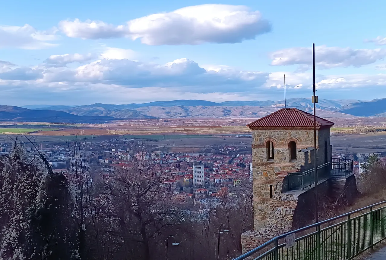
Kyustendil at a glance
- Population
- 34,000 in the town and 46,000 including the municipality’s 71 villages (NSI, end of 2025)
- Altitude
- 527 m, at the foot of the Osogovo mountains
- Mineral water
- 40 springs at 74 °C in the town itself
- To Sofia
- About 100 km – an hour and a half by car; there are also trains and buses
- To the border
- 22 km to North Macedonia
A town for more than 1,900 years
Thracians, Romans, Bulgarians and Ottomans all lived here – and many of them left traces you can still see today.
- 5th–4th c. BC
Thracians found a settlement by the hot springs.
- 106 AD
Emperor Trajan grants Pautalia town rights and it becomes Ulpia Pautalia. Later the town mints its own coins.
- Late 4th c.
The Hisarlaka fortress is built on the hill above the town. Emperor Justinian I rebuilds it in the 6th century.
- 9th century
Velbazhd is now a Bulgarian town, and after the conversion to Christianity it becomes an important bishopric.
- 28 July 1330
In the Battle of Velbazhd, Tsar Michael III Shishman is badly wounded and dies three days later.
- 14th century
Despot Constantine Dragaš rules here. The name Kyustendil comes from him – “the land of Constantine”.
- 29 January 1878
Kyustendil is freed from Ottoman rule.
- 1909
The railway links Kyustendil with Sofia.
- 1943
Dimitar Peshev of Kyustendil and a group of fellow townspeople oppose the deportation of Bulgaria’s Jews and help to save them.
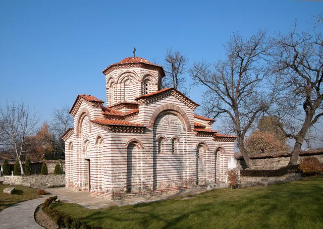
St George’s Church
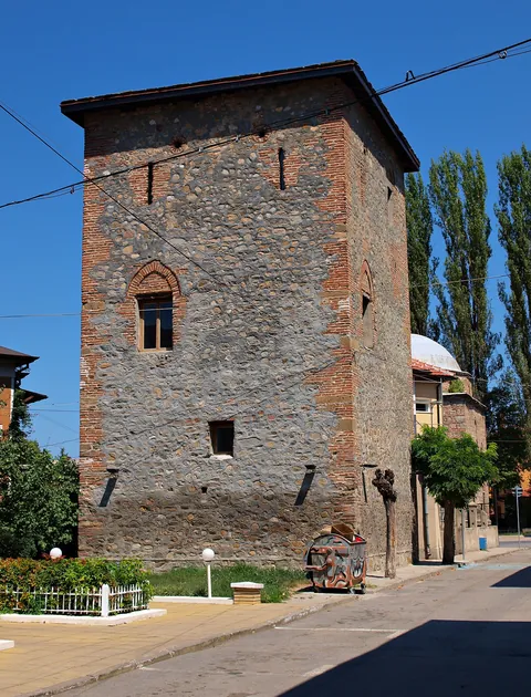
Pirgova Tower
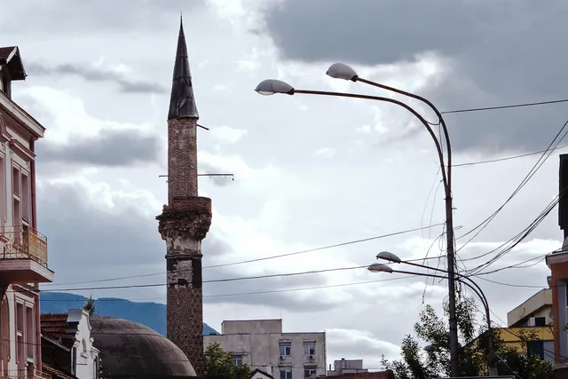
Fatih Mehmed Mosque
The water the town was founded on
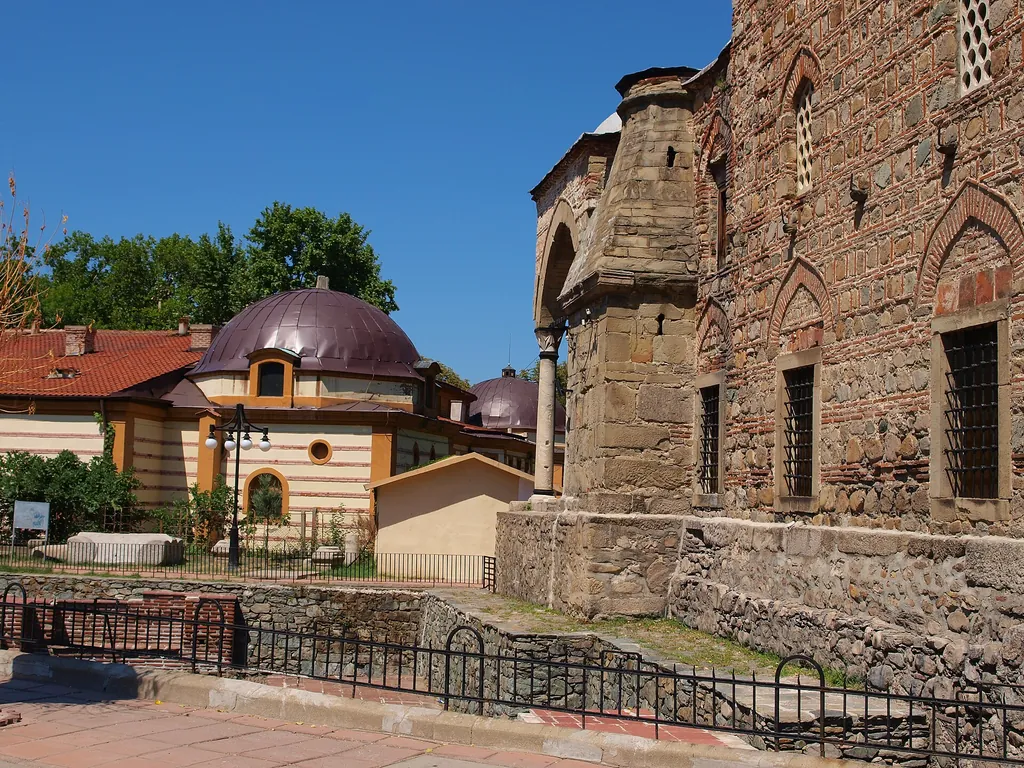
Forty springs in central Kyustendil give mineral water at 74 °C. It is why the Thracians settled here and why the Romans built baths, whose remains still stand in the centre, next to the Ahmed Bey Mosque.
The Chifte Banya bath was built in 1489 on the foundations of the Roman asclepeion, and a modern town bath was completed on its site in 1913.
A forest and a fortress above the rooftops
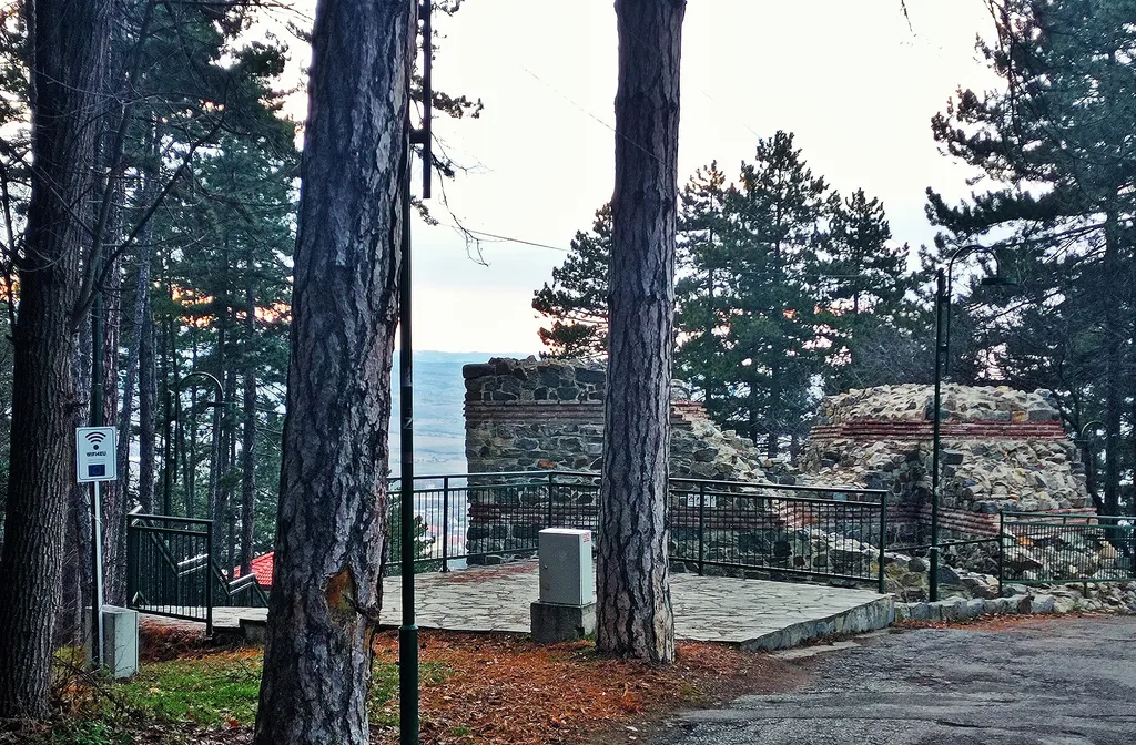
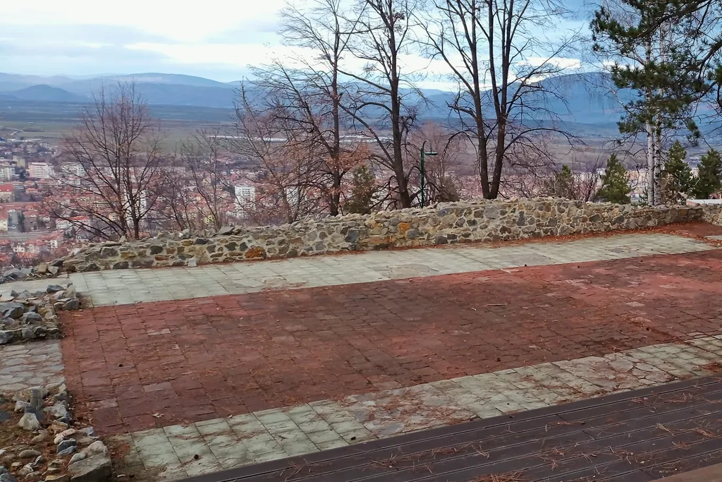
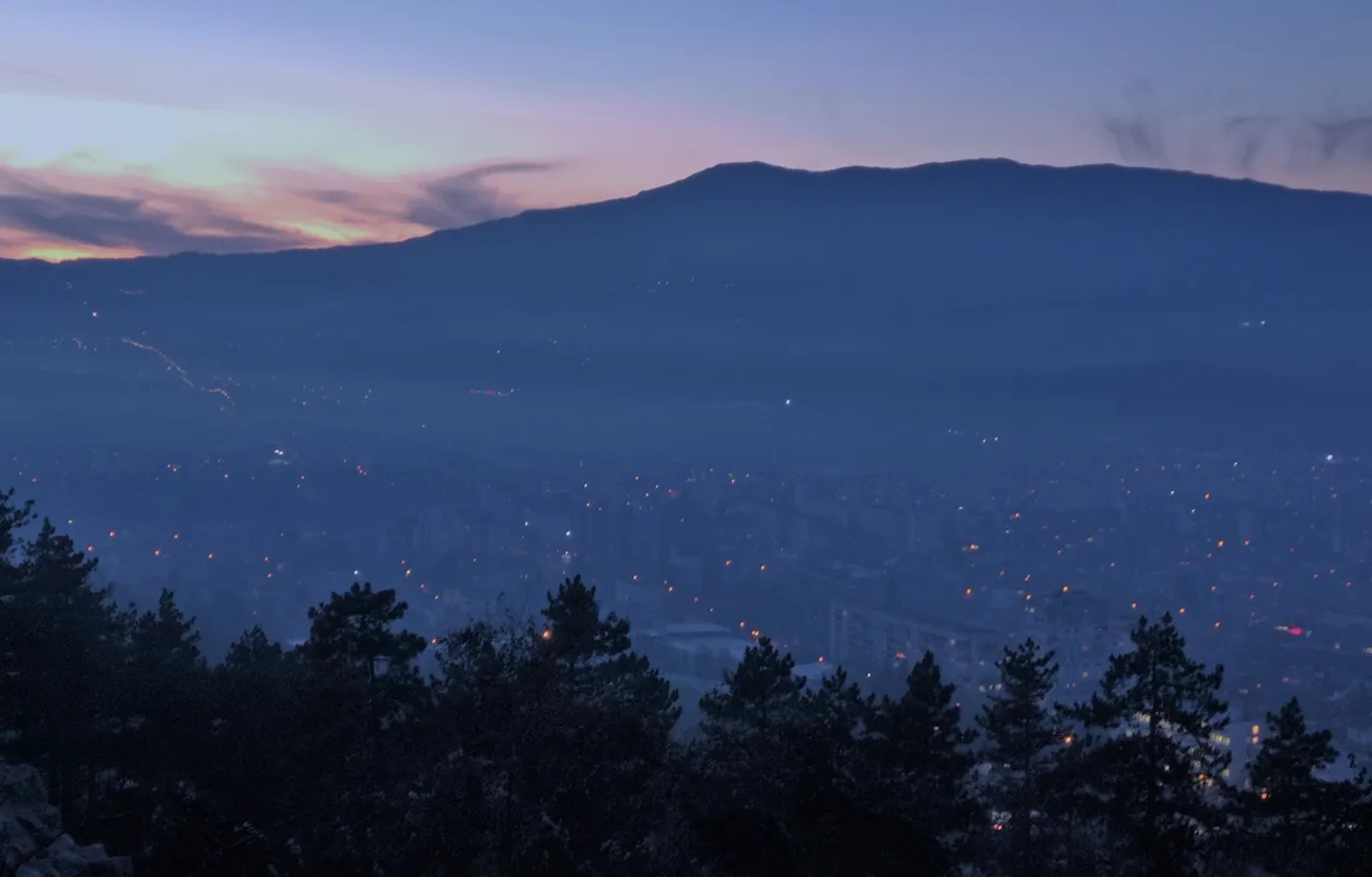
The Hisarlaka forest park begins just above the central neighbourhoods. A footpath starts at the Osogovo stadium and climbs through pine forest to the late-Roman fortress, built in the late 4th – early 5th century, about 2 km from the centre.
The park has paths, playgrounds, sports grounds, drinking fountains and a view over the whole town and valley.
The mountains start at the edge of town
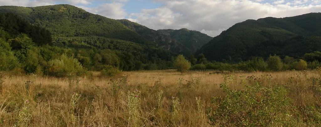
The Osogovo mountains begin just south of town. The highest peak, Ruen (2,251 m), sits on the border with North Macedonia. The Osogovo hut is about half an hour away by car; from there trails lead out for hiking and cycling.
Bulgaria’s orchard
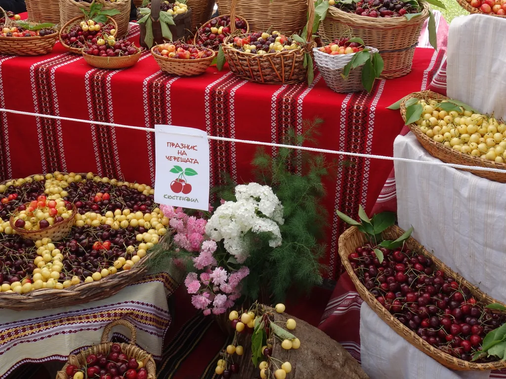
The Kyustendil valley is famous for its cherries and apples. Bulgaria’s first national fruit-growing exhibition was held in Kyustendil back in 1896.
Two festivals show off the harvest of the whole region – the Cherry Festival in June and the Harvest Festival at the end of September.
A reason to celebrate all year
- 29 January
Kyustendil Day
The town’s liberation in 1878 is its official holiday.
- 21 March
Kyustendil Spring
Celebrated since 1966 with an outing to Hisarlaka and the “Miss Kyustendil Spring” contest.
- June
Cherry Festival
An exhibition and celebration of Kyustendil’s cherries in the town centre, revived in 2008.
- 15 August
Panagia
On the feast of the Dormition the town celebrates “Panagia – raising of the bread” with an exhibition of ritual breads.
- Late September
Harvest Festival
Stalls of fruit and vegetables from the whole Kyustendil region in the town centre.
The town of the Master
The painter Vladimir Dimitrov, known as the Master (Maistora), went to school in Kyustendil, and from 1924 to 1951 he lived in the village of Shishkovtsi, painting the people and landscapes of the region. The gallery that bears his name in the centre holds the largest collection of his work.
The town also has the Regional History Museum “Academician Yordan Ivanov”, the Emfiedzhieva House, Ilyo Voyvoda and Dimitar Peshev house museums, the Krum Kyulyavkov Drama Theatre and the Bratstvo community centre, founded in 1869.
Day trips
Distances are by car from Velbazhd Square.
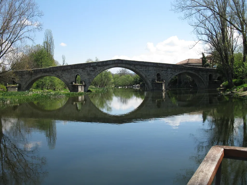
Kadin Bridge
15 kmA stone bridge over the Struma from 1470. One legend says it was a wedding gift for a brave Bulgarian bride.
Osogovo hut
17 kmThe start of the trails to Ruen peak.
Zemen Monastery
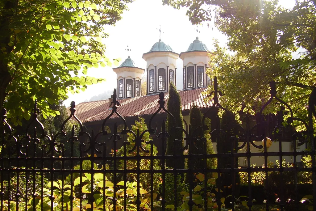
38 kmAn 11th-century monastery with frescoes from the 11th and 14th centuries.
Stob Pyramids
73 kmRock pyramids at the foot of the Rila mountains.
Rila Monastery
95 kmBulgaria’s best-known monastery.
Skopje
137 kmThe capital of North Macedonia, for a day or a weekend.
A house with a garden, a short drive from town
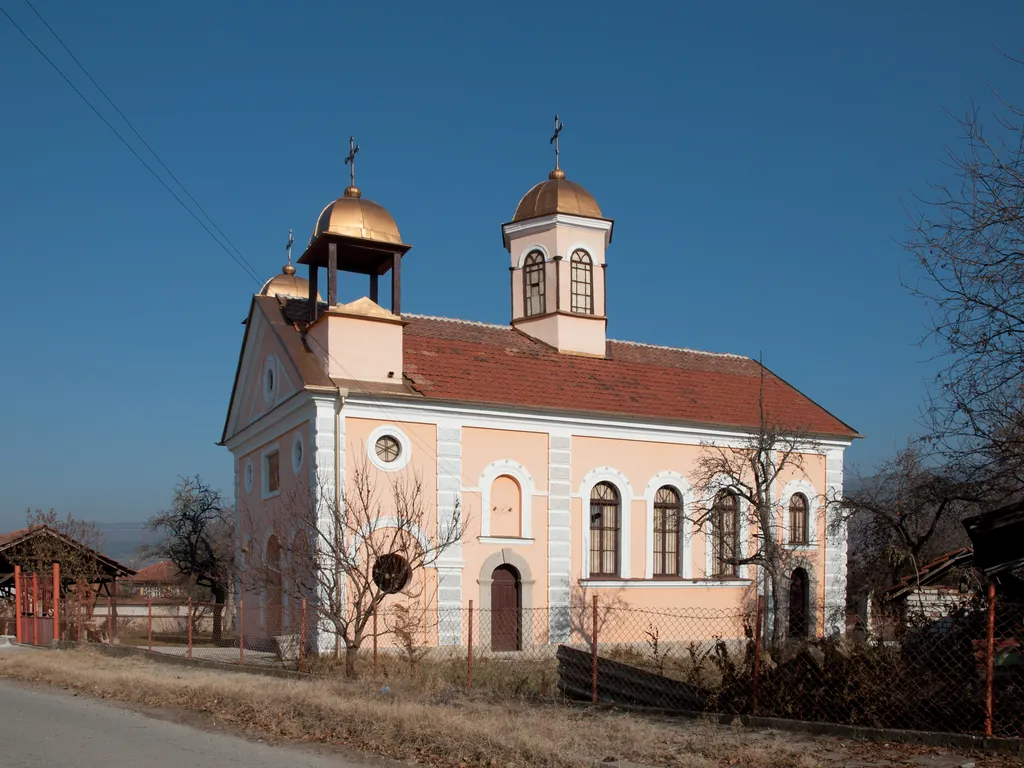
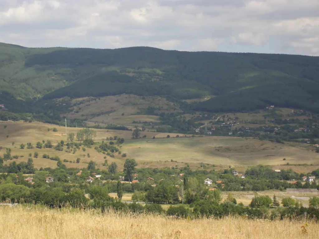
There are 71 villages around Kyustendil – from the flat ones in the valley to the mountain villages of Osogovo. If you are looking for a house with a garden, nearby villages such as Zhilentsi, Bogoslov and Shishkovtsi are 7 to 16 minutes from the centre by car.
Gyueshevo is by the border crossing into North Macedonia, and Savoyski, Sazhdenik and Tsarvena Yabalka lie high up in Osogovo.
Close to Sofia, on the road to Skopje
Kyustendil lies on Pan-European Transport Corridor VIII and has a station on the Sofia – Pernik – Gyueshevo railway line. Distances are by road from the centre.
Sofia
103 kmAbout an hour and a half by car; trains and buses every day.
Sofia Airport
113 kmFlights across Europe.
North Macedonia
22 kmThe Gyueshevo – Deve Bair border crossing.
Greece
148 kmThe Kulata – Promachonas border crossing.
Let’s find your home in Kyustendil
Tell us what you are looking for – an apartment in the centre, a house with a garden in a village or a building plot. We will show you the right properties and check their documents.